Mojave Desert Peak #1 - Queen Mountain
Explore Landscapes #20: This past Monday (MLK Day) I enjoyed (or was it endured?) a hike up Queen Mountain in Joshua Tree National Park. Sometimes a hike isn't always as first thought.

On Monday I met up with my friend Sarah (JT hiking guide and climber) to hike up Queen Mountain - the 2nd highest ‘named peak’ in Joshua Tree National Park. I make the distinction of ‘named peak’ as there’s an unnamed peak (5,787 feet) marked on the USGS topographic map. So we have Quail Mountain (5,813 feet), the undisputed highest peak in JT, then peak 5,787, and then Queen Mountain (5,680 feet).
Anyhow, whether it’s the 2nd or 3rd highest peak is not really important - it’s a damn good adventure to climb it. I hadn’t hiked the peak before - so I wasn’t completely aware (aka hadn’t read the guide book thoroughly enough) that it’s a challenging hike.
In his book, Mojave Desert Peaks, Michel Digonnet describes it as follows:
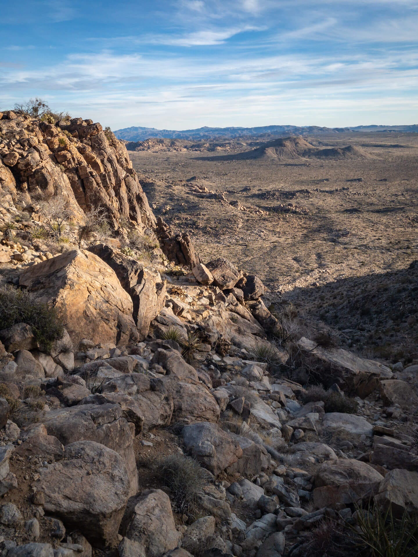
Queen Mountain is a lofty mesa of carved monzogranite that drops 1,000 feet from the edge of the Wonderland of Rocks into Queen Valley’s scenic arboretums. The climb from valley floor to rimrock is hard work, up a sheer rock-strewn ravine traced by a rough use trail. Even if you cannot make the final rock-climbing to the two neighboring summits, from much of this ascent the views of the colossal sculptures surrounding the mountain are breathtaking.
I’ve bolded the key part of Michel’s description above as we were to find out for ourselves.
Having parked at the Pine City trailhead, the approach to the base of the mountain is along a clear and obstacle-free desert trail. So far, so good. The first couple of miles were straight forward, we were busy chatting and catching up on our respective news from the past couple of months. Then we started gaining elevation.
Upon leaving the valley floor it became very apparent that there was no trail - you just had to pick your route and zig-zag across the steepening slope of loose gravel, stones, and rocks. On this type of terrain going up is always easier than going down. More about that later.
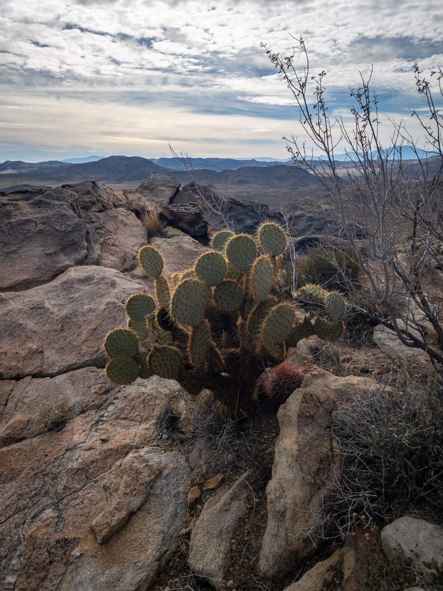
Part of the attraction (and ongoing fascination) of hiking in the desert for me is the abundance of shrubs and cacti. There were plenty of beautiful red California barrel cacti to keep us company as we climbed uphill.
At regular intervals I used the excuse of stopping to enjoy the view back towards the valley to sneak in a little break. The rocky outcrops make perfect homes for all manner of cacti, shrubs, and trees, including Pancake-Pear cacti and Pinyon pine.
Navigation was somewhat difficult as there was no trail, and with the various false summits blocking the view to the actual summit, we did more ascent and descent than the route described.
In total during our 6.7 mile circular route we gained 1,720 feet - which may not sound like much - but it felt like a lot more as there’s no trail.
Upon finally reaching the actual summit we took some time to enjoy the incredible 360° view, take a few pics, and have a snack. It was fun to identify the different areas of JT from this lofty vantage point: Queen Valley, Wonderland of Rocks, and Indian Cove to name but a few. The wilderness was spread out below us like a life-size topographical map.
We decided to take a different route down from the summit - a more direct route than our ascent - down towards the O’Dell Road trailhead. This would give us a loop route rather than retracing our steps and cut down on the mileage. However, the descent is steep (over 1,000 feet in about a mile) and is down a loose, unstable, rock-strewn ravine.
Being the wrong side of fifty, I wished I’d brought my hiking poles with me, to help stabilize myself on the way down. I had a few stumbles, fortunately only resulting in minor scrapes (and some loss of dignity), and eventually got down to the valley floor.
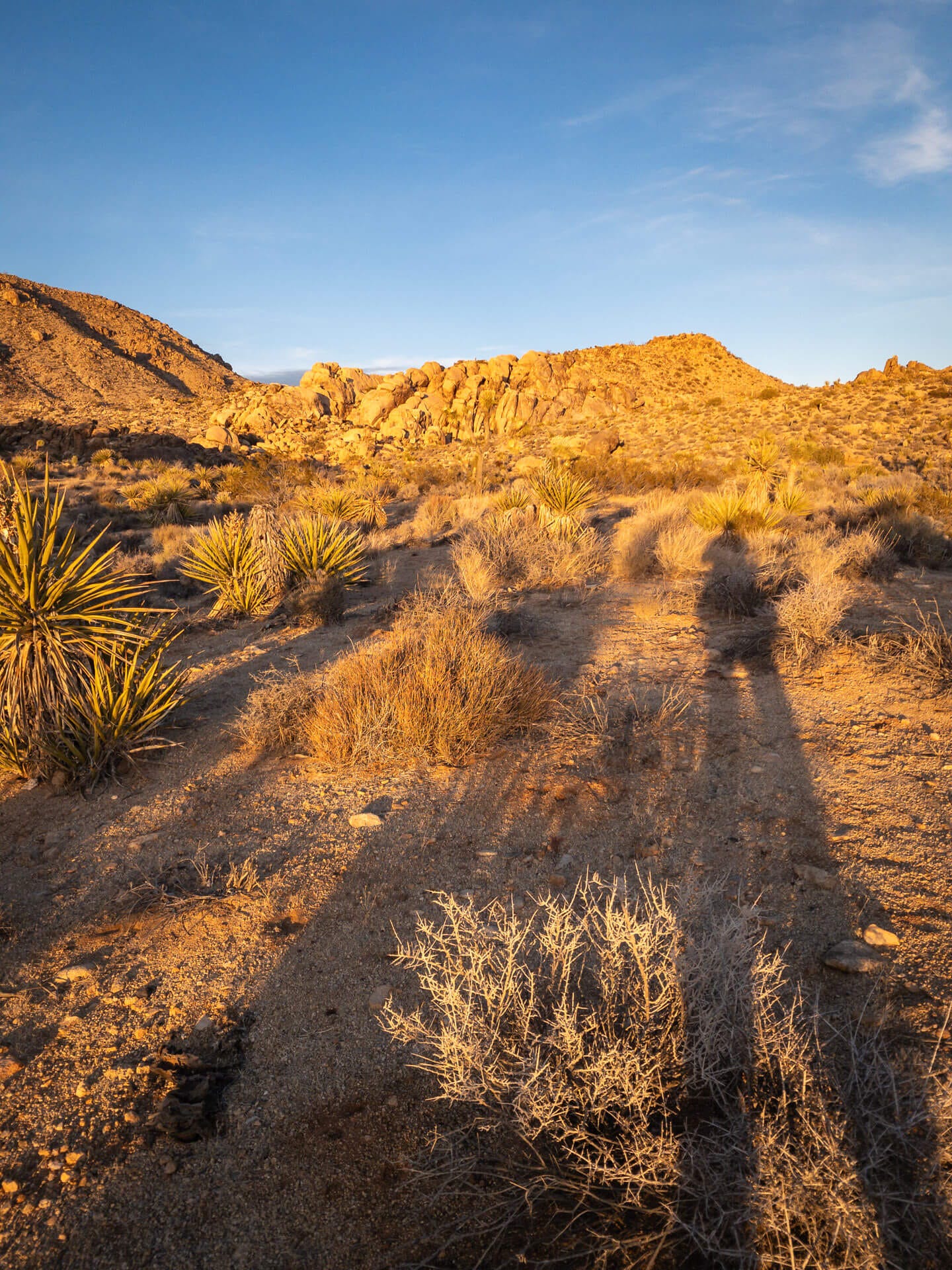
We were accompanied on our walk back to the trailhead by beautiful late-afternoon sun, long shadows, and an orangey-glow on the granite rock piles we passed.
The clouds had been building as we descended, and the setting sun made good use of them providing a beautiful backdrop behind the ridge line.
We had a couple of miles (off trail) to get back to the trailhead and our vehicles, and by the time we got there the sun was below the horizon and we were well into nautical twilight.
All-in-all a great afternoon of hiking, exploring a new (to me) mountain, and spending quality time with a friend. Now I need to plan which peak to hike next.
As I’ve mentioned before, I volunteer (and also lead workshops) for the Desert Institute (the educational branch of the Joshua Tree National Park Association). They have an amazing line-up of adult and family field classes, activities, adventures and wellness experiences in and around Joshua Tree National Park - take a look at their Spring 2024 catalog to learn more.
If you’re a photographer, join Casey Kiernan or myself, on a landscape photography field class with the Desert Institute. See more info and book your place today.


